Other common names:
Black Birch, Sweet Birch Family: Birch Family (Betulaceae) Group: Birches Distinctive features: Tree Similar species: • White Birch (Betula papyrifera) - bark papery and white. •
Yellow Birch (Betula alleghaniensis) • Green Alder (Alnus viridis)
• European Black Alder (Alnus glutinosa)
• Speckled Alder (Alnus incana)
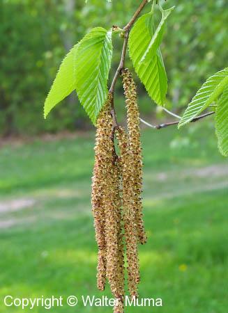
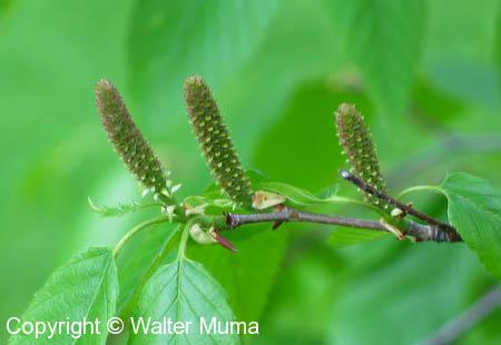
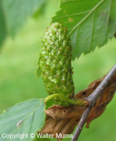
Flowers: Spring Leaves: Alternate, Simple, Toothed Habitat: Forests; Open forests. Books: Trees in Canada: 295 Native/Non-native:
Native Notes:
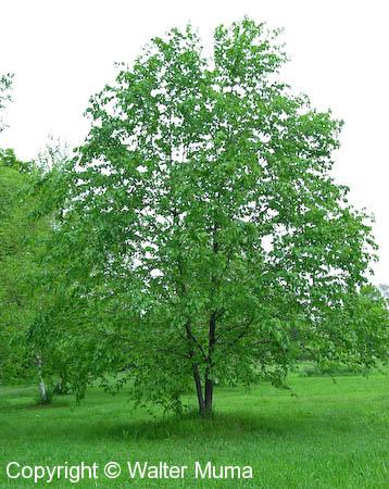
Mature Cherry Birch trees are only found in a single location in Ontario: a single stand of them in Port Dalhousie (St. Catharines) on Lake Ontario, on private property. The tree featured on this page is a young one at the Royal Botanical Gardens in Burlington, Ontario.
Origin and Meaning of Names:
Scientific Name: lenta: tough, flexible Photographs:
22 photographs available, of which 9 are featured on this page. SCROLL DOWN FOR PHOTOGRAPHS.
Range Map is at the bottom of the page
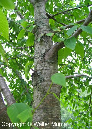
Bark of Cherry Birch is dark, not at all like White Birch (Betula papyrifera). This is the bark of a young tree. Note the similarity of the bark to that of Cherries - hence the tree's name: Cherry Birch! The two types of trees are easily confused.
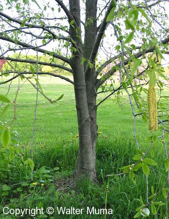
The lower trunk.
The overall form of a young Cherry Birch.
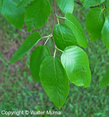
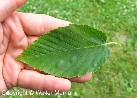
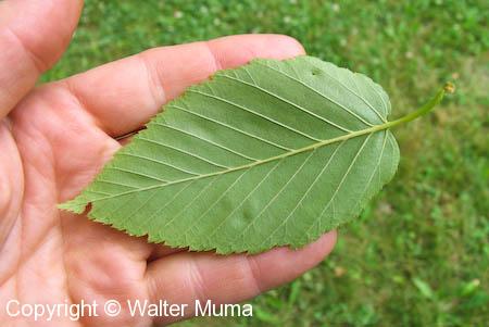
The leaves are elliptical. This is the upper side of a leaf.
PLEASE NOTE: A coloured Province or State means this species occurs somewhere in that Province/State.
The entire Province/State is coloured, regardless of where in that Province/State it occurs.
(Range map provided courtesy of the USDA website
and is displayed here in accordance with their
Policies)
The material on this
page is copyright ® by the original
author/artist/photographer. This website is created,
maintained & copyright ® by
Walter
Muma Please respect this copyright and
ask permission
before using or saving any of the content of this page
for any purpose. THANK YOU
FOR VISITING!